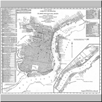
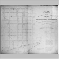
Maps 3
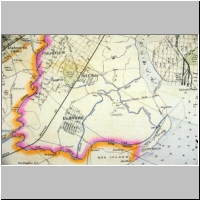
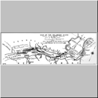
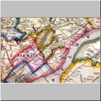
Focus on the Delaware River
A third page of maps, focusing on the Delaware River, which complements the other Delaware River images on PhillyH2O. I am using amodified template from Irfanview.com to upload images to this page. This format means that the descriptions of the images do not appear right next to the thumbnails. Let me kow how you like this, or if you know of a better program (preferably free or cheap) that will do this in a different way.
Descriptions appear both at the bottom of the page and on the linked .html image pages which can be accessed by clicking the thumbnails below.
As always, let me know if you find any sources of good map scans that I might be able to use here. In the meantime, I will keep adding things from the collections I am familiar with.
And the usual caveat: Please contact the holding institution for permission to reproduce these images in any form
The History of Philadelphia's Watersheds and Sewers
Historical Consultant
Philadelphia Water Department