Schuylkill
River in Philadelphia
as shown on
Noll's
New Official Guide Map of Philadelphia
1890
E. P. Noll & Co., Map Publishers
and Mounters.
17 North Sixth Street, Philadelphia, PA.
Original map from the Collection of Adam Levine.
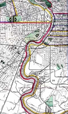
The thumbnails below will take you to large scans of the Schuylkill River corridor from this folding map, which I have unfolded and secured at the seams with archival tape to make a solid flat map. This particular map interests me because it shows the many creeks that other maps of the period omitted even before the creeks were actually obliterated. I also appreciate the elevation contour lines, and although the datum used is different by several feet from the current datum, the numbers still give a sense of the rise and fall of the terrain. The street grid also seems more realistic than other depictions, in that it ends at the creek valleys and indicates, with dotted lines, a few streets that have been projected but not built. Other maps extend the street grid everywhere including over some existing creeks, like Pennypack and Cobb's creeks, that never were intended to be put into pipes. One ambitious map I found even extended the street grid out over a part of the Delaware River!
The History of Philadelphia's Watersheds and Sewers
Historical Consultant
Philadelphia Water Department
Click thumbnails for full-size images. Holding cursor over images will show file size.
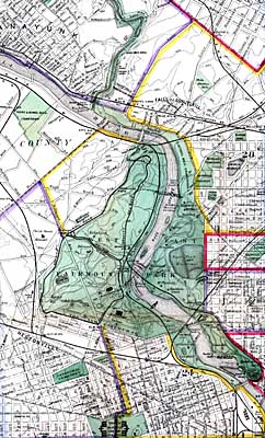
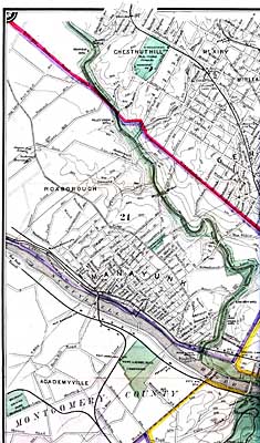
Wissahickon Creek, Manayunk, Chestnut Hill, Mt. Airy.
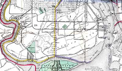
LEFT: South Philadelphia showing confluence of Schuylkill and Delaware Rivers.
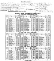
RIGHT: Explanations of map symbols, and street width and distance directory.
Back to
![]()
Website by Panacea
Design and Adam Levine
Page last modified September 18, 2006
