Descriptions are repeated on the full-sized images, which can be accessed by clicking
the thumbnails. Cas20_2.jpg
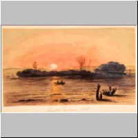
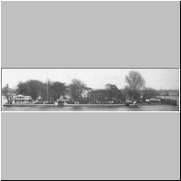
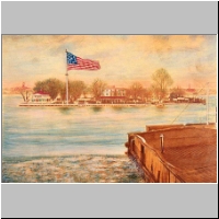
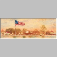
Smith Island, in the Delaware River off Philadelphia. Unknown artist. 1848
Cas20_2b.jpg
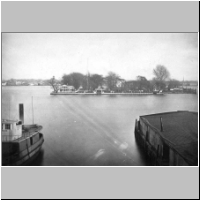
Smith and Windmill Islands,
by F. Gutekunst. 1890 Cas20_3.jpg
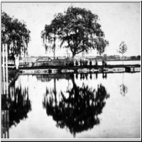
Smith Island. 1869
Cas20_3_dtl.jpg
Smith Island. 1869 Cas20_4a.jpg
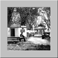
Smith
Island, Beer Garden. 1880 ca. Cas20_4b.jpg
Smith
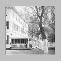
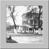
Island, Hotel. 1880 ca. Cas20_4c.jpg
Ridgway
Park, on Smith's Island. 1880 ca. Cas20_32.jpg
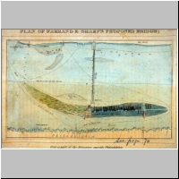
Plan
of Farrand & Sharp's Proposed Bridge, over a part of the Delaware, near Philadelphia.
1820 ca. [Shows the islands as one continuous island that it does not name]but
does not give them names
Cas20_46.jpg
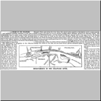
Obstructions
in the Delaware. Beginning of Scientific American article, with a diagram showing
"Improvements in the Delaware," identical to Cas20_57.jpg (see below).
1888 ca. Cas20_46a.jpg
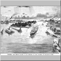
Windmill
and Smith's Islands, to be removed to open channel in Delaware River. Illustration
for Scientific American article. 1888 ca. Cas20_50a.jpg
Hotel, Smith Island. 1880 ca. Cas20_50b.jpg
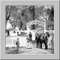
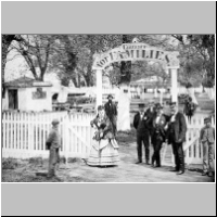
"Entrance for Families." Smith Island. 1880 ca. Cas20_50b_dtl.jpg
"Entrance
for Families." Smith Island. 1880 ca. Cas20_57.jpg
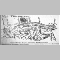
Diagram
showing proposed extension of Port Warden's Line. [Shows proposed removal of part
of Petty's Island and total removal of Windmill and Smith's islands.] 1888 Cas20_69.jpg
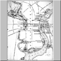
Map of the water frontage of the port of Philadelphia. 1876 (See identical
map, with better resolution, by clicking here.) Cas20_75.jpg
Smith's
Island, opposite Philadelphia. S McMullin Photographer, 128 South Ninth Street,
Phila.
Cas20_75_dtl.jpg
Smith's
Island, opposite Philadelphia. S McMullin Photographer, 128 South Ninth Street,
Phila. Cas20_93a.jpg
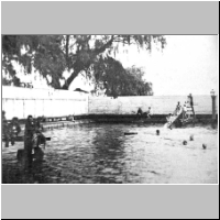
Smith Island
bathing pavilion.1880 ca. Cas20_93b.jpg
Smith Island ferry landing, with the ferry 'John Smith'. 1880 ca
TO
TOP OF PAGE Return
to Castner Main Page Back
to

Website by Panacea
Design and Adam Levine
Page
last modified March 8, 2006 / Updated April 3, 2015 | 
