MAPS 5
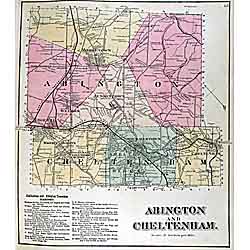
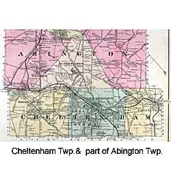
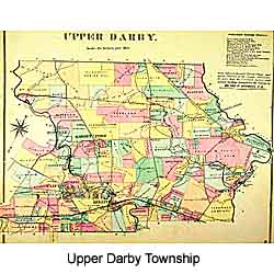
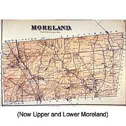
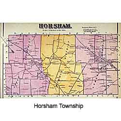
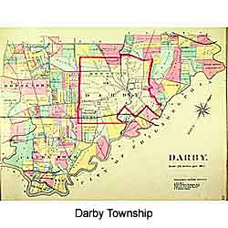
Abington, Cheltenham, Darby, Horsham,
Moreland and Upper Darby Townships
Plates from early 1870s atlases by G.
M. Hopkins
SOURCE: Free Library of Philadelphia, Map Collection
These plates from Hopkins atlases of the early 1870s are among the earliest detailed maps of the townships surrounding Philadelphia. I use them often when giving talks on the history of local watersheds, since they show many small streams in their natural state, before they were channelized, diverted, or outright obliterated.
The maps were photographed with a digital camera on a copy stand; Lower Merion was done in two sections (one for each page) and pieced together.
Please contact the Free Library of Philadelphia Map Collection for permission to use these maps in any form.
The History of Philadelphia's Watersheds and Sewers
Compiled by Adam Levine
Historical Consultant
Philadelphia Water Department
Historical Consultant
Philadelphia Water Department
